Observation Details
Observation Date:
February 25, 2023Submitted:
February 25, 2023Zone or Region:
Taos AreaActivity:
Skiing/SnowboardingLocation:
Steeper Moraine above Lake Fork boulderfieldSigns of Unstable Snow
Observations
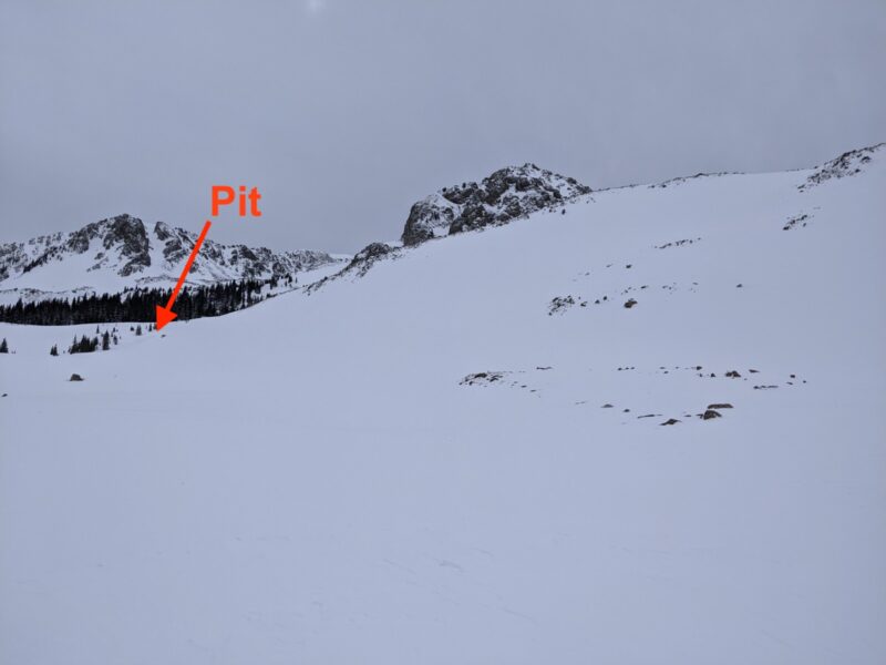
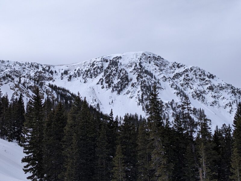
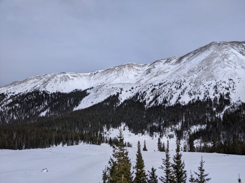
Evidence of a slide with crowns visible on S and SE aspects of Kachina Peak (K9 couloir), see photo. Also the previous post about Peace Sign gully running big (debris extends 200' past the trail). Much of the east side of the valley above treeline has been scoured, see photo. The west side is presumably comparatively windloaded.
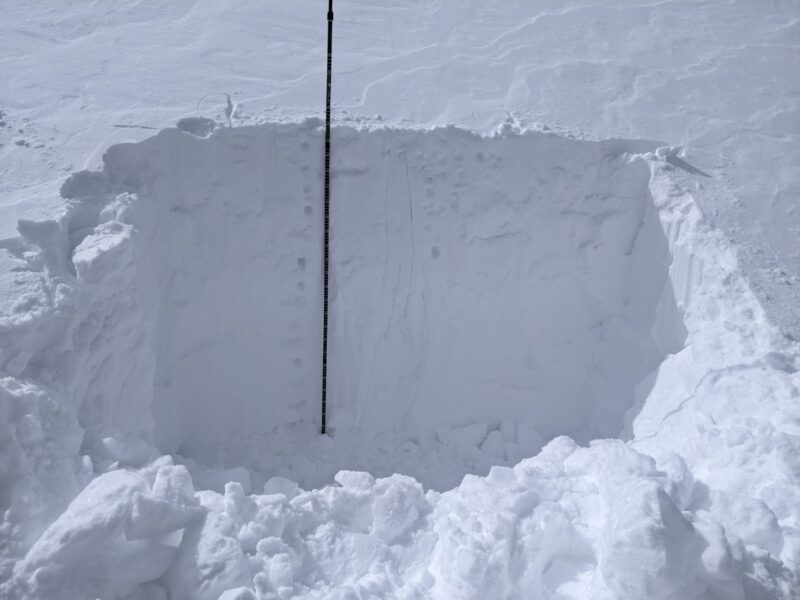
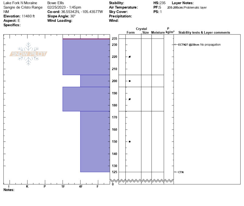
Dug a pit to lookers left of the steep moraine below Lake Fork, above the boulderfield. Considerable wind deposit in this area, 235cm total depth (pit test depths measured from ground @ 0 cm). Very consistent snowpack ~1F to 4F hardness with no distinct layers down to 125cm. ECTN27 very close to surface. Couldn't get it to fail beyond that.
Snowpack here seemed very well bonded at least to that depth. No idea what lurks deeper! Note that this is probably a poor representation of the pack closer to ridgelines.
Media
