Professional Observation
Basic Information
Observation Details
Observation Date:
November 18, 2026Submitted:
November 18, 2026Observer:
TAC - Andy BondZone or Region:
Taos AreaLocation:
Sin Nombre PeakSigns of Unstable Snow
Recent Avalanches?
YesCracking?
WidespreadCollapsing?
WidespreadBottom Line
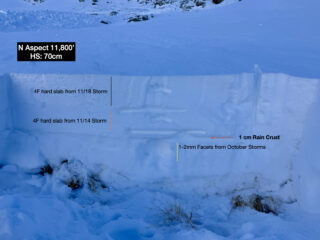
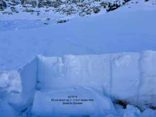
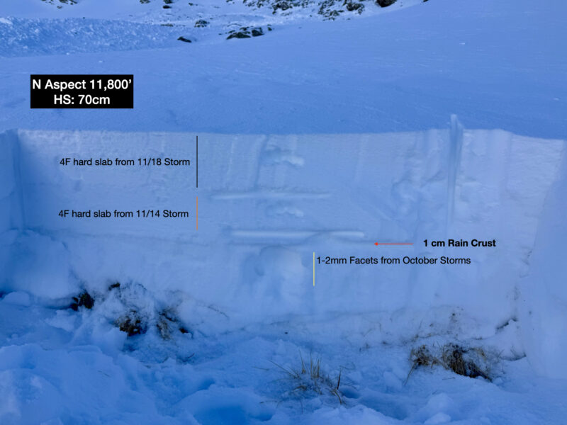
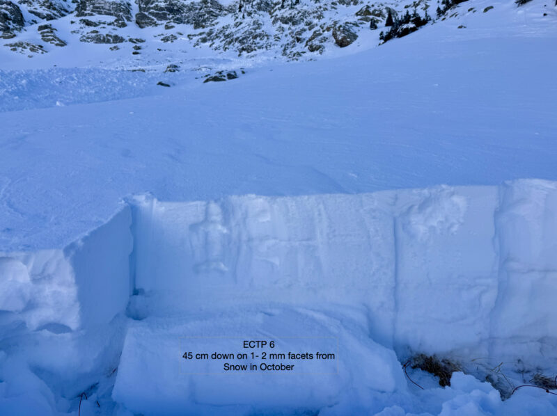
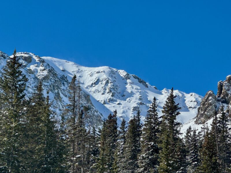
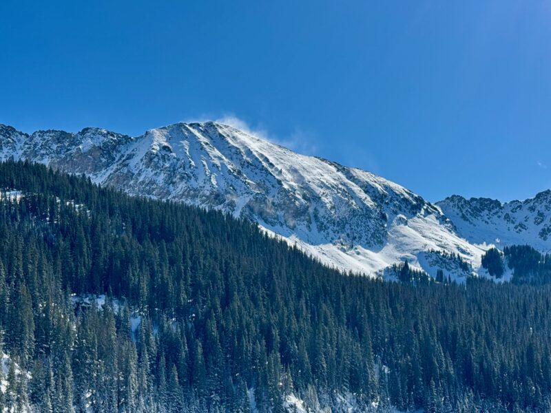
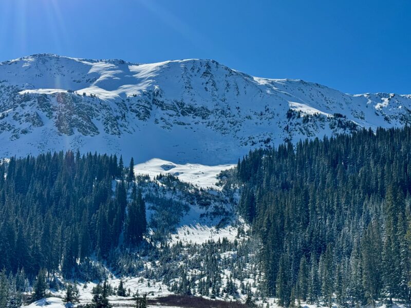
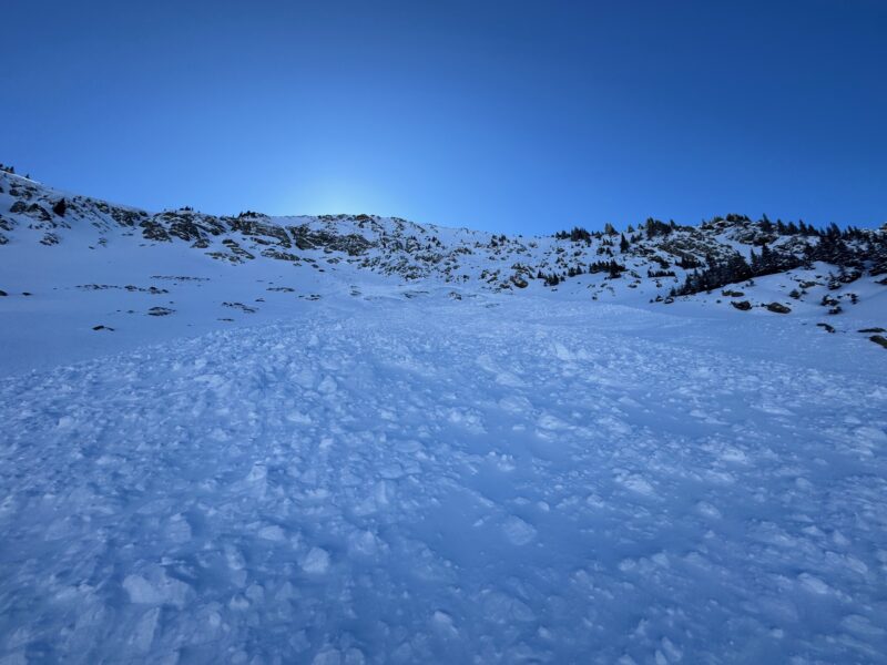
About 14 inches of snow an 1.8" of SWE from the two storms over the last couple of days have formed slabs that rest on top of weak facets from snow in October. Avalanches today were confined to northerly aspects near and above treeline. This type of setup lends itself to remote triggering. Whumpfing and shooting cracks are indications that you've found this poor snowpack structure.
Media
Advanced Information
Weather Summary
Cloud Cover:
Mostly SunnyTemperature:
17 - 28Wind:
Light , SWWinds were stronger earlier in the morning with snow transporting. Solar aspects were warming up in the afternoon.
Avalanche Observations
Natural avalanche on a North aspect cross-loaded slope ATL. Did have reports of remote triggered avalanches near and above treeline northerly aspects
Snowpack Observations
Snow from October especially above 11,000' on northerly aspects have turned into weak facets and now have slabs from two storms in the past couple of days resting on top. There is evidence of a thin crust that seperates newer snow from the facets in places. This crust most likely formed on 11/12 with temperatures well above freezing across the highest peaks.