Professional Observation
Basic Information
Observation Details
Observation Date:
January 27, 2022Submitted:
January 28, 2022Observer:
TAC - AndyZone or Region:
Taos AreaLocation:
Lake Fork PeakSigns of Unstable Snow
Recent Avalanches?
YesCracking?
IsolatedCollapsing?
None ExperiencedMedia
Advanced Information
Weather Summary
Cloud Cover:
Mostly SunnyTemperature:
6 - 15Wind:
Calm , NWCold start to the morning under clear skies and calm winds. Clouds started building mid-morning with snow starting later in the evening around 5 pm. With calm winds did not observe any drifting snow, but there were about 4 inches of low-density snow available for transport.
Snowpack Observations
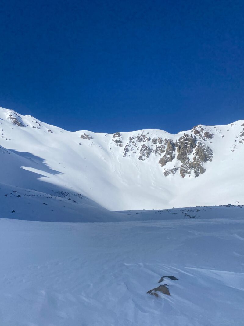
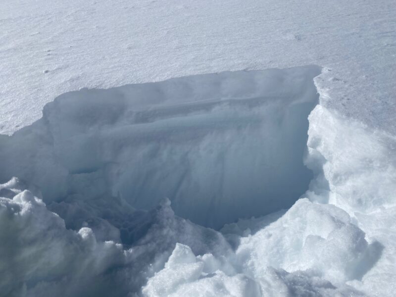
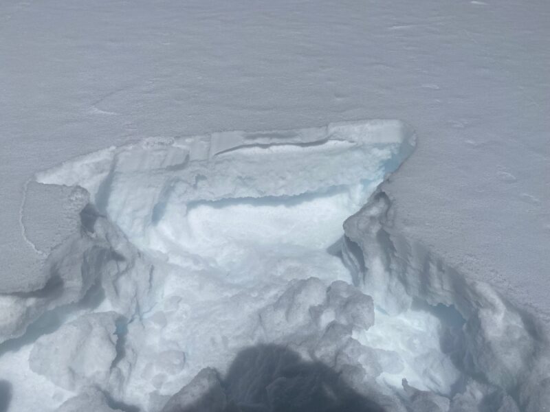
Took advantage of the early morning sun before clouds built over the mountains by mid-morning. 2 to 4 inches of low-density snow from Tuesday evening/Wednesday mornings storm was on top of the old firm surface that formed from the three weeks of high-pressure to begin January.
Above treeline, I found isolated pockets of soft wind slab and sastrugi but were not reactive on steep test slopes. Dug a couple of quick pits to show the old/snow new snow interface (See Photos)
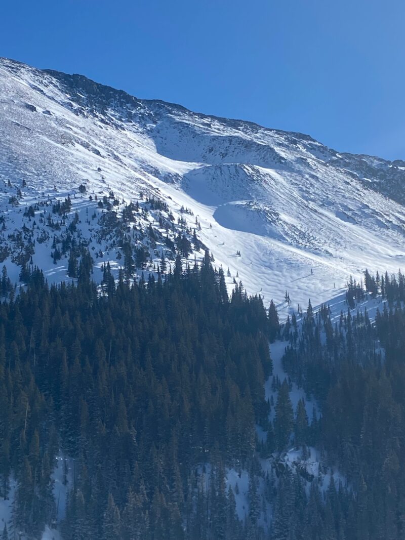
Only recent avalanches were small loose snow avalanches in steep terrain on easterly aspects.
Terrain Use
Skiing and riding conditions improved greatly, skiing 4" of light powder on a supportable underfoot surface.
Close