Professional Observation
Basic Information
Observation Details
Observation Date:
March 11, 2021Submitted:
March 11, 2021Observer:
TAC - Andy BondZone or Region:
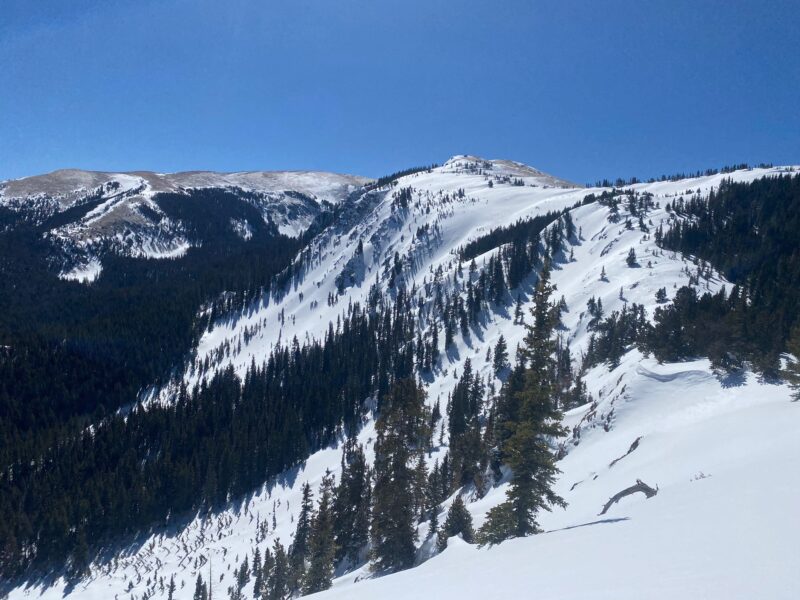
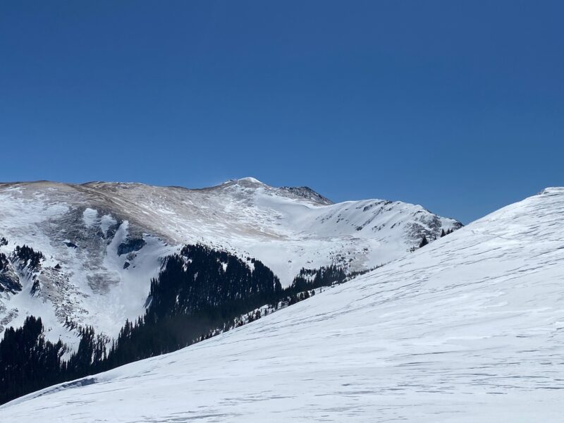
Taos AreaLocation:
Bull of the Woods AreaSigns of Unstable Snow
Recent Avalanches?
None ObservedCracking?
None ExperiencedCollapsing?
None ExperiencedSnow Stability
Stability Rating:
GoodConfidence in Rating:
ModerateStability Trend:
SteadyMedia
Advanced Information
Weather Summary
Cloud Cover:
ClearTemperature:
20 - 39Wind:
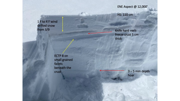
Strong , SWSW winds were blowing in the 20's gusting in the mid 50's at ridgetops. No new snow was being transported.
Snowpack Observations
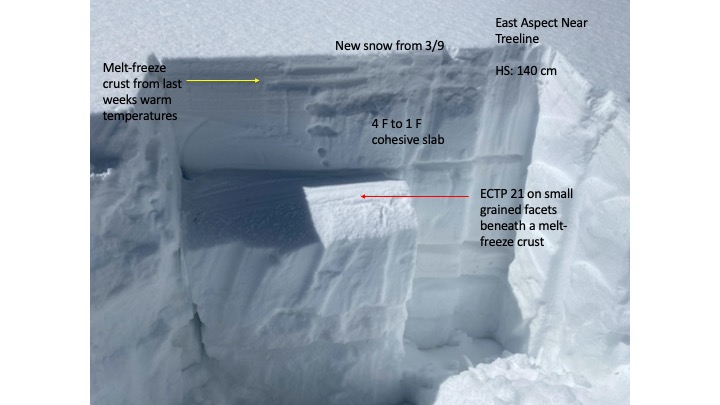
Went for a walk beyond Bull of the Woods to check out the steep East aspects on the way up to Mt. Walter. The 2 to 3 inches of snow from Tuesday had already been transported onto the leeward sides of ridgelines creating 4 to 8" slabs that formed on top of a melt-freeze crust from the warm weather earlier in the week.
The snowpack is still cold snow near and above treeline and found several shallow snowpacks in start zones on paths that have previously avalanched multiple times already earlier in the season.
I was finding a faceted layer just below the melt-freeze crust that was reactive in stability tests. This will more than likely be a weak layer of concern going forward into the weekend if we do see significant snowfall.
I was not finding wind slabs to be reactive in my travels.