Basic Information
Observation Details
Observation Date:
February 2, 2021Submitted:
February 2, 2021Observer:
TAC - Andy BondZone or Region:
Taos AreaLocation:
Spring Like Day in Early FebruarySigns of Unstable Snow
Recent Avalanches?
YesCracking?
None ExperiencedCollapsing?
None ExperiencedMedia


Advanced Information
Weather Summary
Cloud Cover:
Mostly SunnyTemperature:
30 - 45Wind:
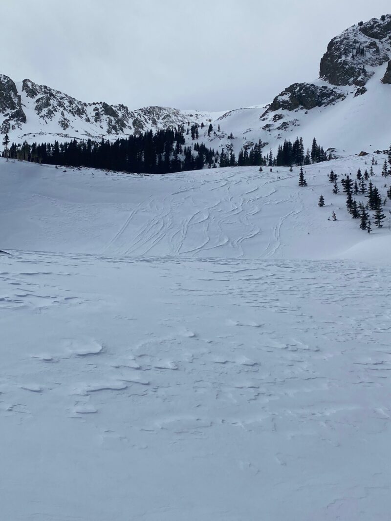
Moderate , WFelt more like April than the beginning of February with warm temperatures into the 40's below 10,000'. No noticeable transport, but the effects of the wind last night could be seen with inverted tracks and stiffening of the surface near and above treeline.
Avalanche Observations
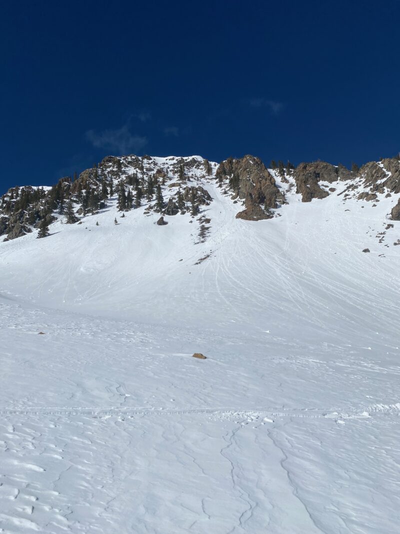
Small loose wet avalanches on steep solar aspects were observed today. The snow surface on anything but North was taking heat from the intense sun and warm temperatures. The top 10 to 15 cm of the surface was wet and moist.
Snowpack Observations
A very warm spring-like day with all aspects but North warming on the surface from the sun and warm temperatures. We were observing rollerballs and pinwheels on these slopes when they were in the sun. Depending on the timing of the next storm and temperatures we should see melt-freeze crusts on the surface.
Below treeline on West, North and East aspects we continue to find 2 foot slabs from last week's snow still reactive in long column tests. These slabs rest on top of weak faceted snow where they are failing. These facets/depth hoar are starting to round and gain a little strength but it is going to take more time.
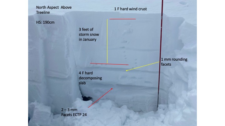
Near and above treeline many slopes avalanched last Tuesday, but on slopes that didn't, we're finding 3 to 4 foot slabs resting on top of hard slabs that formed from prior wind events and faceted weak snow beneath that. We were getting hard results with full propagation in long column tests, but was not on the margin of the slab. The faceted weak layers are showing signs of healing but are nowhere near being fully healed.
