Basic Information
Observation Details
Observation Date:
November 11, 2020Submitted:
November 11, 2020Observer:
TAC - Andrew BondZone or Region:
Taos AreaLocation:
Lake Fork PeakSigns of Unstable Snow
Recent Avalanches?
None ObservedCracking?
None ExperiencedCollapsing?
None ExperiencedMedia


Advanced Information
Weather Summary
Cloud Cover:
Mostly CloudyTemperature:
23Wind:
Light , SWSunny morning gave way to partly cloudy skies in the early afternoon. Temperatures were warming throughout the day. Winds were calm to light below ridgelines. At ridgelines winds were blowing 20 to 25 mph. No snow available for transport.
Snowpack Observations
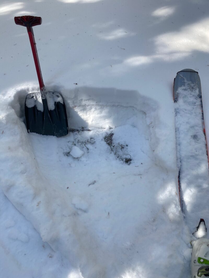
There is not much snow below 10,000'. Solar aspects are melting quickly at these elevations with only a couple of inches remaining on north and shady aspects.
Above 10,000' travel is much easier with 8 to 12" of snow Below Treeline. The big thing is a supportable crust from the rain event on 11/8 at these lower elevations (Below 11,500'). This has made travel manageable and surprisingly easy with this little snow at these lower elevations.
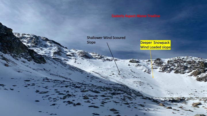
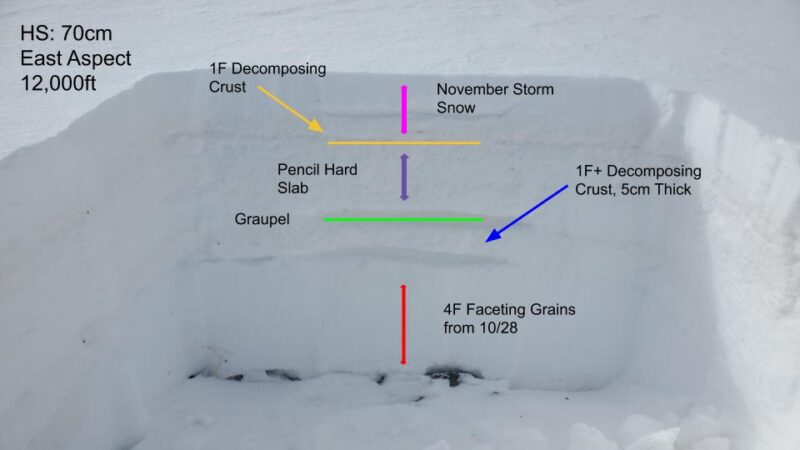
We went out to check out East aspects above treeline today to see the extent of wind loading from the multi-day storm 11/8 to 11/9. 100 mph winds and snow in our mountains tends to lead to an uneven distribution of snow. That's exactly what we found with hard slabs and deeper snowpack on some slopes and a shallow (starting to facet) snowpack on others.
Stability tests resulted in mixed results with easy to moderate force and full propagations in shallow faceted snowpacks at the margins of the slabs. Deeper snowpacks are bit behind in the faceting process and we weren't getting any results in these deeper 100+cm snowpits.
It's still a very early season snowpack and with what looks like a prolonged period of high pressure I suspect that we will see a lot of changes in our snowpack in the coming weeks.
