Professional Observation
Basic Information
Observation Details
Observation Date:
December 11, 2025Submitted:
December 11, 2025Observer:
TAC - Charlie HarrisonZone or Region:
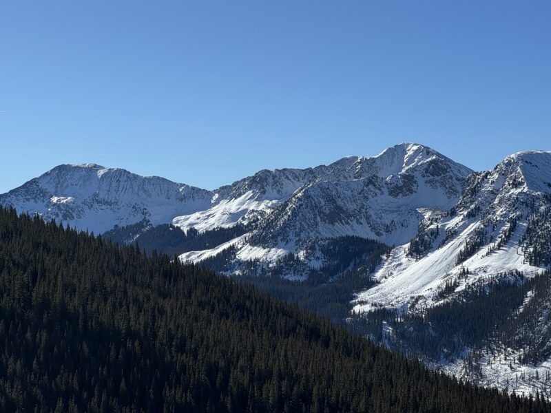
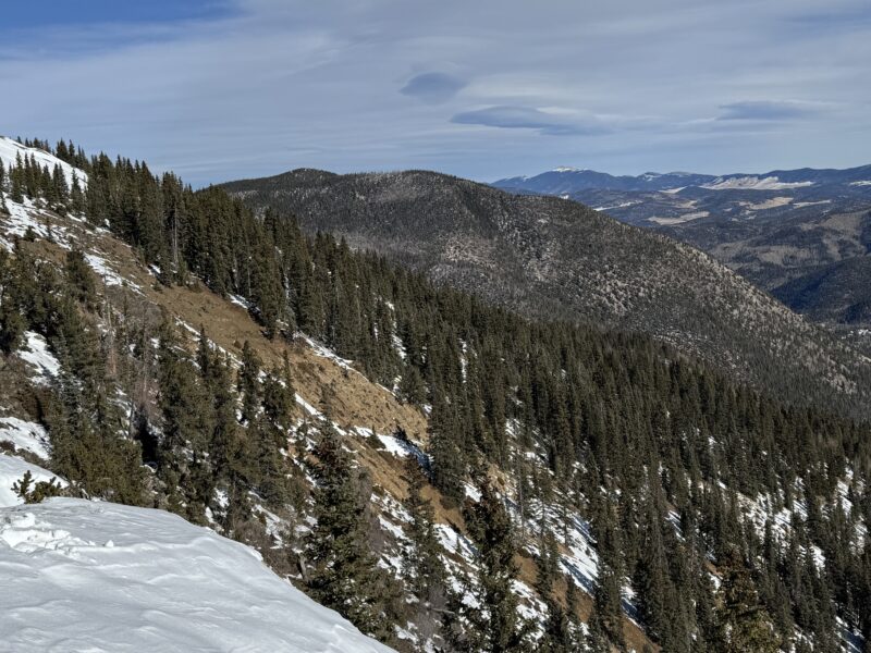
Taos AreaLocation:
Middle Fork Red RiverSigns of Unstable Snow
Recent Avalanches?
None ObservedCracking?
None ExperiencedCollapsing?
None Experienced
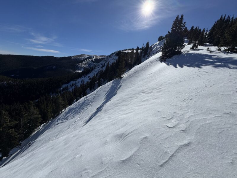
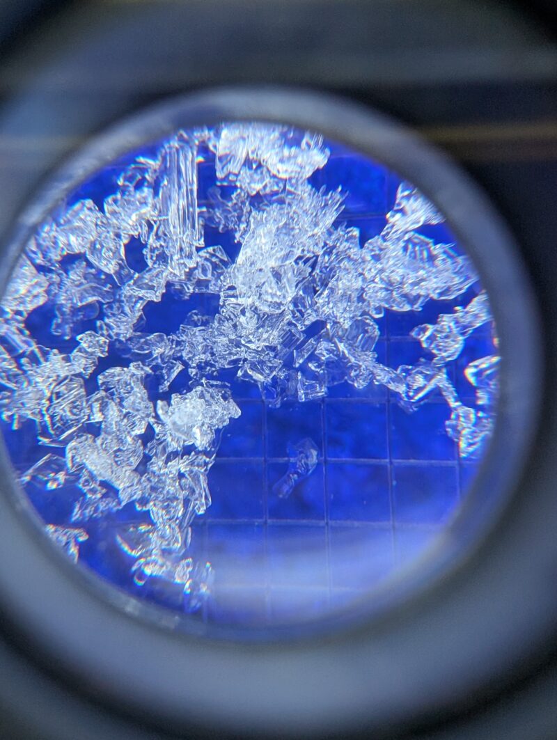
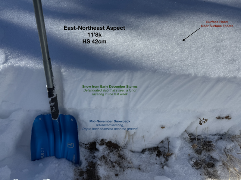
The snowpack I observed on North and East aspects is showing obvious signs of faceting. East aspects are more shallow and are more fully deteriorated from the ground up, whereas Northerly aspects tend to be a little bit deeper but are still faceting. There are very few signs of any cohesive slabs remaining in the area.
Bottom Line
Facets, Facets, Facets. We are trending towards having a WIDESPREAD buried weak layer by the time our next storm rolls around (which may not happen until around Christmas). Ground hazards and ride-ability are your biggest concerns out there.
Media

Advanced Information
Weather Summary
Cloud Cover:
Mostly SunnyTemperature:
20-43Wind:
Light , SWWarm, sunny day that felt a lot more like typical late-March.
Snowpack Observations
As mentioned, all of the shallow snowpacks out there are faceting. Depths are anywhere from 20-80cm, and ski/boot pen is to the ground in most places.