Professional Observation
Basic Information
Observation Details
Observation Date:
January 31, 2025Submitted:
January 31, 2025Observer:
TAC - Andy BondZone or Region:
Taos AreaLocation:
Wind Loading Up HighSigns of Unstable Snow
Recent Avalanches?
YesCracking?
IsolatedCollapsing?
IsolatedMedia
Advanced Information
Weather Summary
Cloud Cover:
ClearTemperature:
22-34Wind:
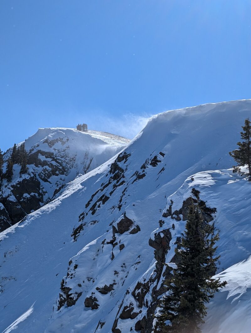
Light , SWSunny day, that felt downright hot by the afternoon even though temperatures were only just above freezing. It's already that time of year when our intense southern latitude sun heats up the snow surface quickly. Above treeline we had moderate SW winds that were easily transporting snow onto East aspects.
Avalanche Observations
| # | Date | Location | Size | Type | Bed Sfc | Depth | Trigger | Comments | Photo |
|---|---|---|---|---|---|---|---|---|---|
| 1 | Past 24 hours |
East Facing Slopes above East Fork E |
D2 | SS | O-Old Snow | N-Natural |
|
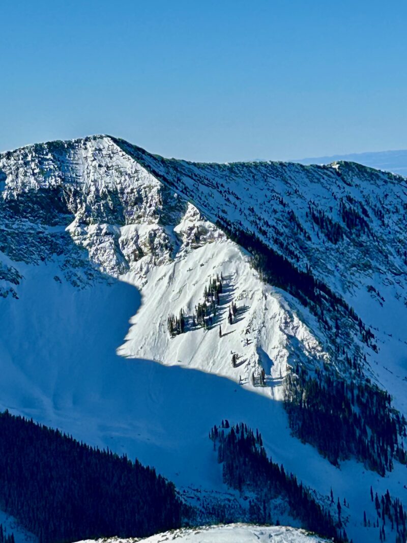
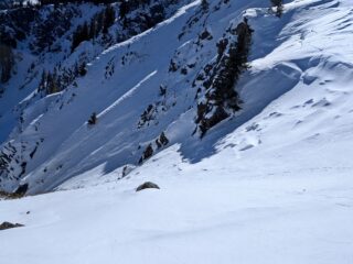
Above 10,500' it looks like we had a pretty extensive avalanche cycle on north facing aspects below and near treeline. It seems like 35 degrees and steeper was the sweet spot for avalanche activity. These avalanches were mainly small Size 1 and occasionally getting into depth hoar layers below. We were finding these avalanches to typically be about 10 - 100 feet wide. Above treeline, last night's wind event produced a couple of more recent natural avalanches that we observed today.
It's not often you observe 5 different avalanche types in one day, but we had wet loose, dry loose, storm slab, persistent slab and wind slab avalanches all happen today!
Snowpack Observations
Storm slabs were not as reactive as yesterday but we were still getting shooting cracks and collapses at all elevations in travels today. Near treeline we were finding some effect of last nights winds with stiffer more cohesive slabs. Above treeline we were finding active loading and stiffer firmer wind slabs.
Winds are expected to ramp up tonight through the weekend and there is a bunch of snow available for transport. I'd expect slabs to stiffen and get deeper in the next day near and above treeline. We saw some east facing slopes above treeline release naturally stepping down into deeper weak layers. I'd expect this trend to continue tomorrow.
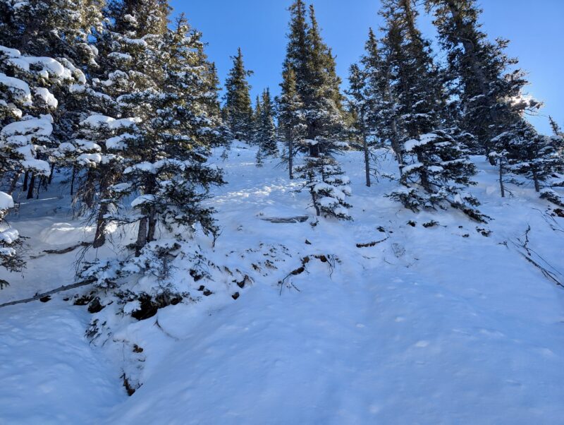
The low-density new snow was settling quickly at lower elevations and taking heat on the solar aspects from our intense sun at our southern latitude in the U.S. I would think that by the end of the weekend after the big warm up, southerly aspects will most likely be back to bare ground.
Terrain Use
Went out on a walk to check out the extent of yesterdays avalanche cycle as well as what above treeline terrain looked like after last night's strong winds.
Close