Observation Details
Observation Date:
March 24, 2023Submitted:
March 25, 2023Zone or Region:
Taos AreaActivity:
Skiing/SnowboardingLocation:
Lake Fork Basin, William's Lake TrailObserved Avalanches
Did you observe any avalanches?
YesAvalanche Type:
Hard SlabSize:
Size 3: Could bury and destroy a car, damage a truck, destroy a wood frame house, or break a few treesElevation:
NTL, BTLAspect:
WComments:
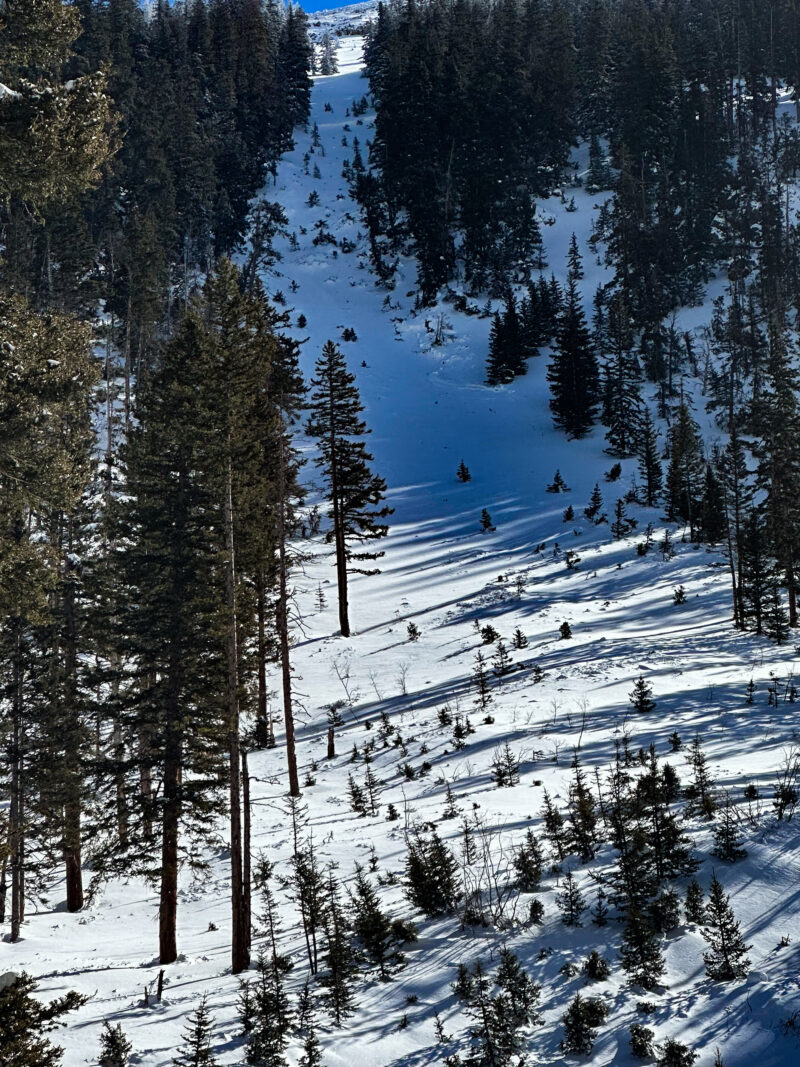
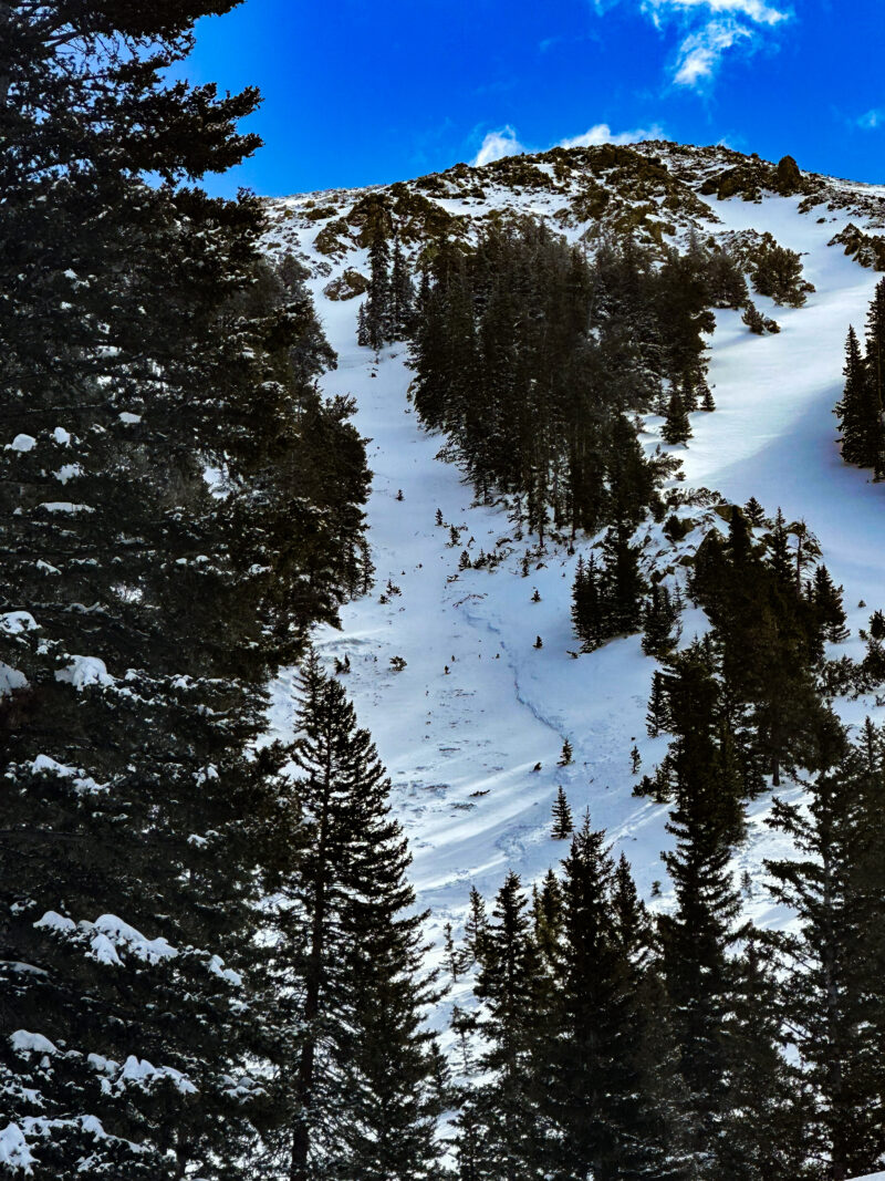
The Bong Chute and Middle Finger both slid, sometime between 3/20 and 3/23. Both releases appeared to be persistent slab releases that initiated below treeline, well below the upper reaches of the starting zones, and stepped down into older layers carving out channels with significant side walls above the runouts. The slide in the Middle Finger stepped down to the ground on the lower 1/3 of the chute, and deposited debris on and past the old WLT. If you know the spot where there's a glacial boulder pile at the bottom of this chute, that's where the slide crossed the trail. It's been several years since this chute has slid that large, likely dating back to the March 2nd 2014 event. The Bong Chute released below treeline and across the upper starting zone on the stem. Crowns appeared to be between 1 and 2 meters deep, and were partially filled in indicating they ran mid-storm earlier this week.Signs of Unstable Snow
None reported
Observations
Significant loading from the recent storm cycle winds.
Media


