Basic Information
Observation Details
Observation Date:
February 10, 2021Submitted:
February 10, 2021Observer:
TAC - Andy BondZone or Region:
Taos AreaLocation:
Long CanyonSigns of Unstable Snow
Recent Avalanches?
None ObservedCracking?
None ExperiencedCollapsing?
None ExperiencedMedia


Advanced Information
Weather Summary
Cloud Cover:
Mostly SunnyTemperature:
20 - 30Wind:
Light , WAnother warm sunny day for February.
Snowpack Observations
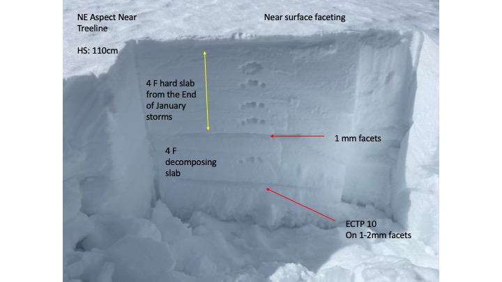
Went back into Long Canyon to see what was going on back in there. This spring weather has done a number on the lower elevation snowpack with south aspects melting back to bare ground. Overall below 10,000' we have a very shallow snowpack (less than 2') that is incredibly weak and faceted with melt-freeze crusts on the surface.
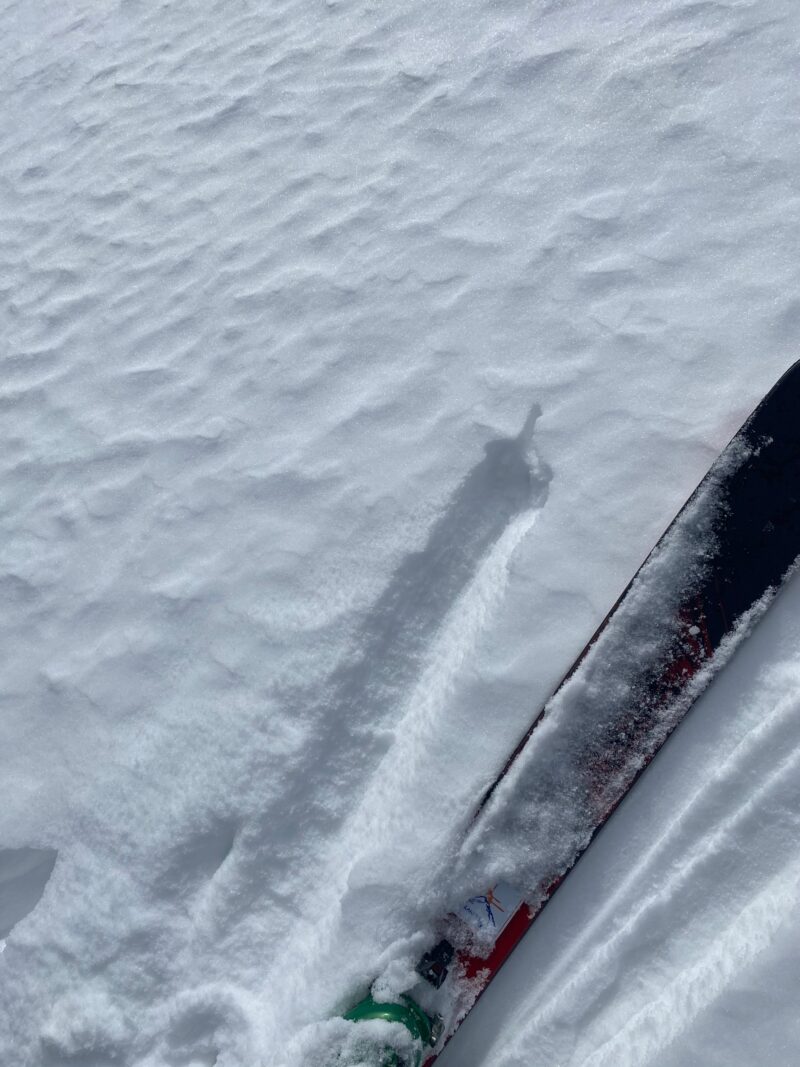
North and East aspects had widespread near-surface faceting which made for good skiing but will become our next buried weak layer with storms coming this weekend. Overall we continue to find a shallow faceted snowpack near and below treeline, with faceted weak layers slow to heal.
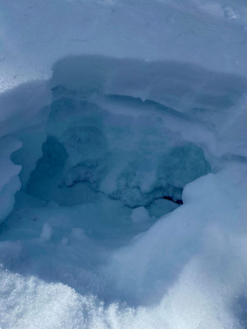
We skinned up an avalanche path that had slid during the end of January avalanche cycle. This path had filled in some with more recent snow but is incredibly shallow with depth hoar below the old bed-surface and weak near-surface facets above that crust. With such a widespread avalanche cycle and many slopes with a similar set-up to this, we may see many slide paths as repeat offenders if we do get a big storm and wind in the coming days.
